LEADER IN ERS TECHNOLOGY
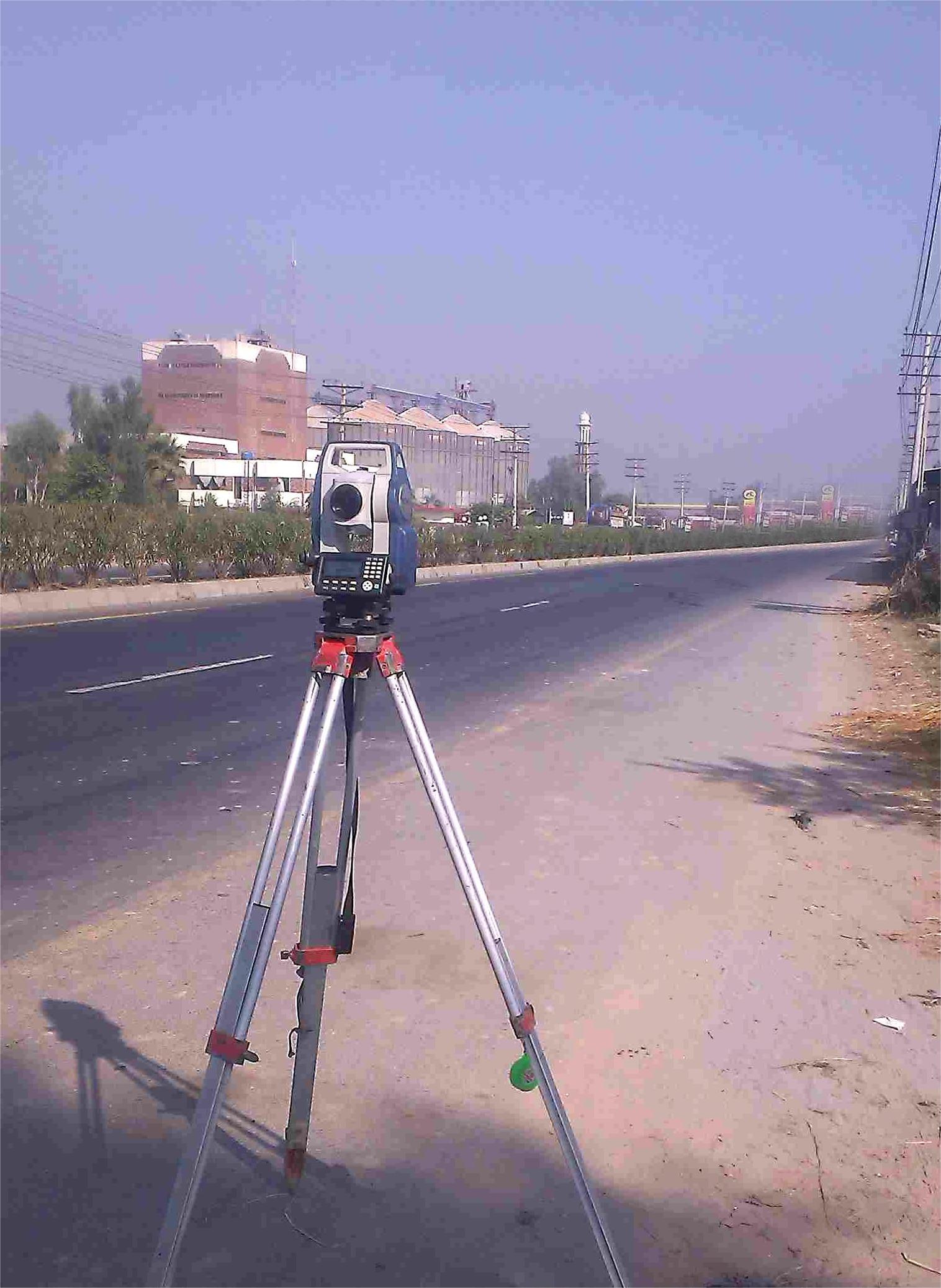
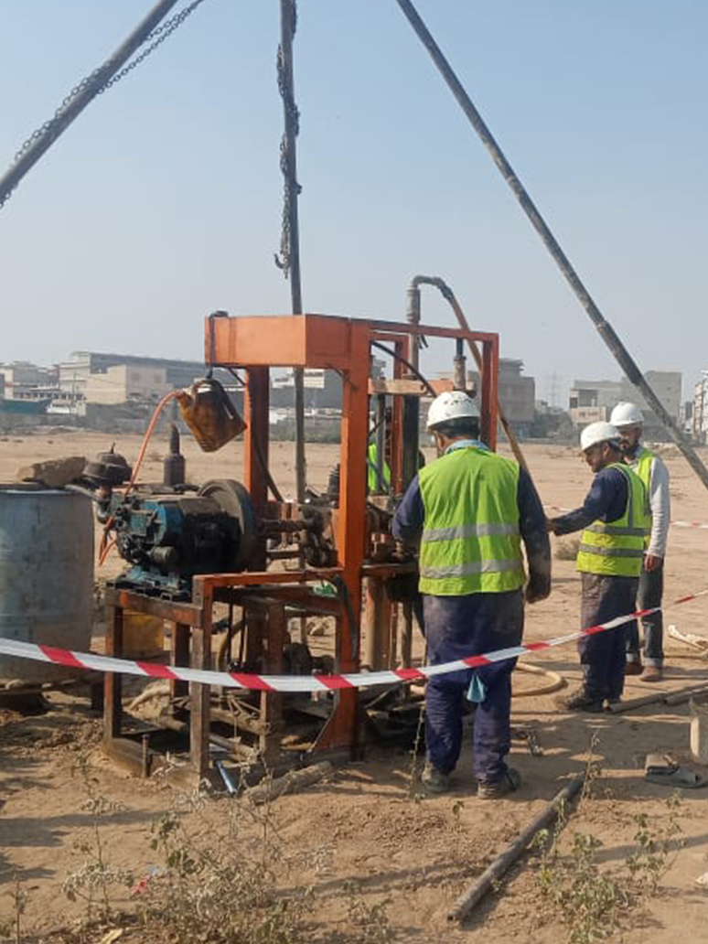
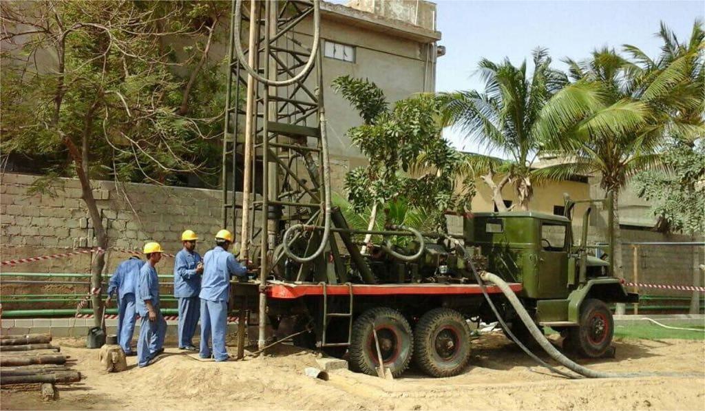
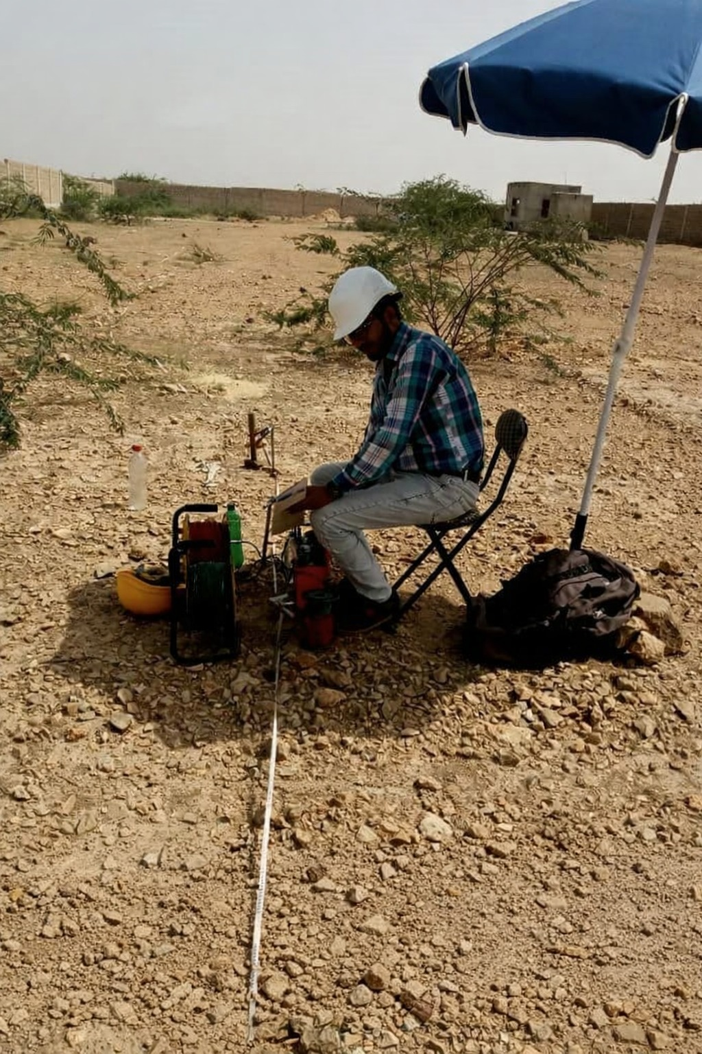
We are the leader of the water drilling services as we employ the specialized Electrical Resistivity Survey (ERS) in Pakistan, focusing on advanced Tomography Survey techniques. Our state-of-the-art equipment and experienced team ensure accurate subsurface mapping for optimal drilling locations.
The Electrical Resistivity Survey is a geophysical method that measures the electrical resistivity of subsurface materials. This non-invasive technique helps identify groundwater zones, geological structures, and potential drilling sites with high accuracy.
KEY FEATURES
2D & 3D Tomography
Advanced imaging techniques for detailed subsurface visualization
Groundwater Exploration
Precise identification of water-bearing zones and aquifers
Structure Mapping
Detailed mapping of geological structures and formations
Mineral Detection
Identification of mineral deposits and resource zones
Fault Identification
Detection of faults, fractures, and geological anomalies
Depth Profiling
Comprehensive depth analysis and layer profiling
APPLICATIONS
Water Resource Management
Identifying optimal locations for water well drilling and groundwater extraction
Construction Planning
Site investigation for foundation design and construction projects
Environmental Studies
Contamination detection and environmental impact assessments
Mining Exploration
Mineral deposit identification and resource evaluation
INTERESTED IN THIS SERVICE?
Contact us today for a free consultation and detailed quote