TOPOGRAPHIC SURVEY PAKISTAN
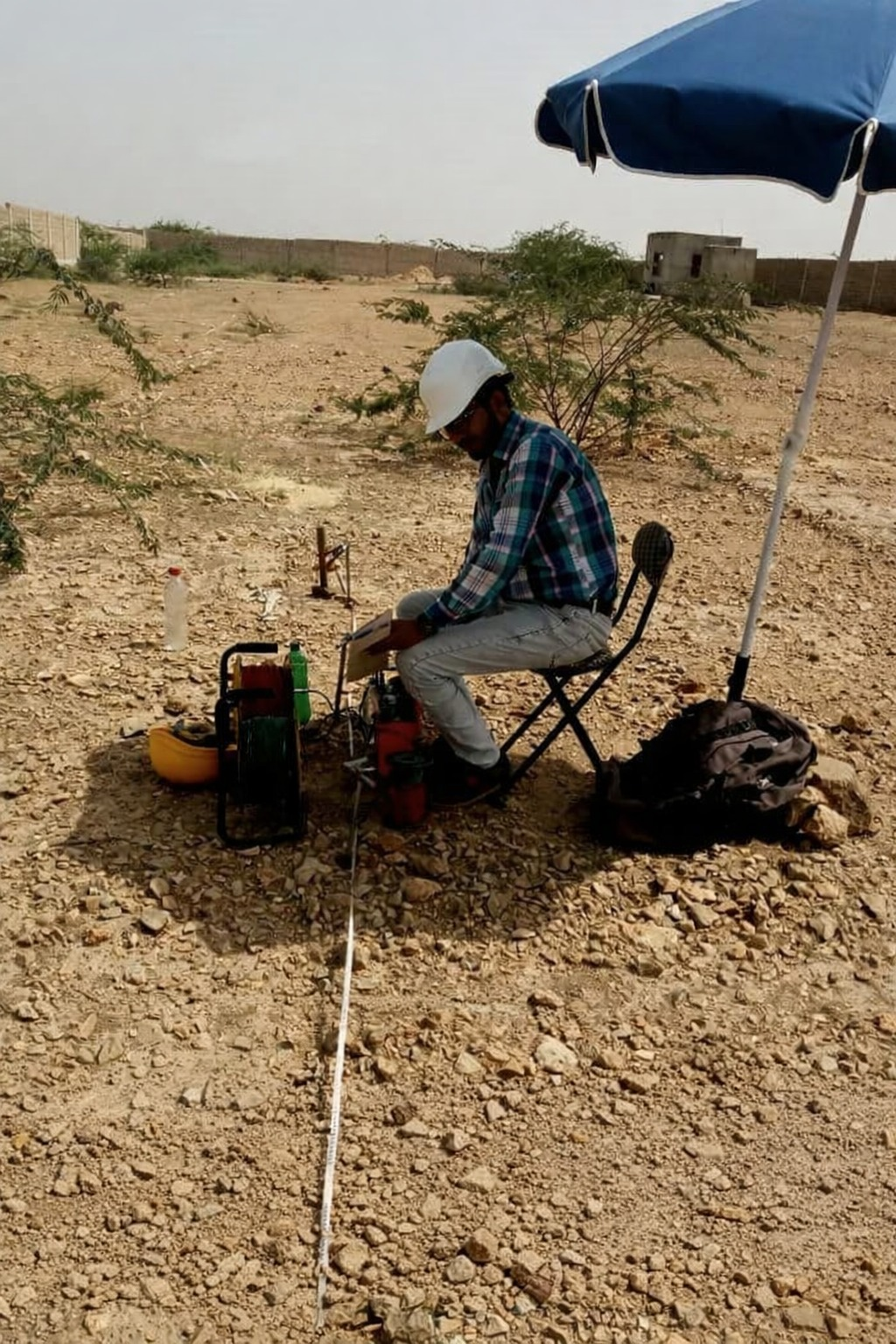
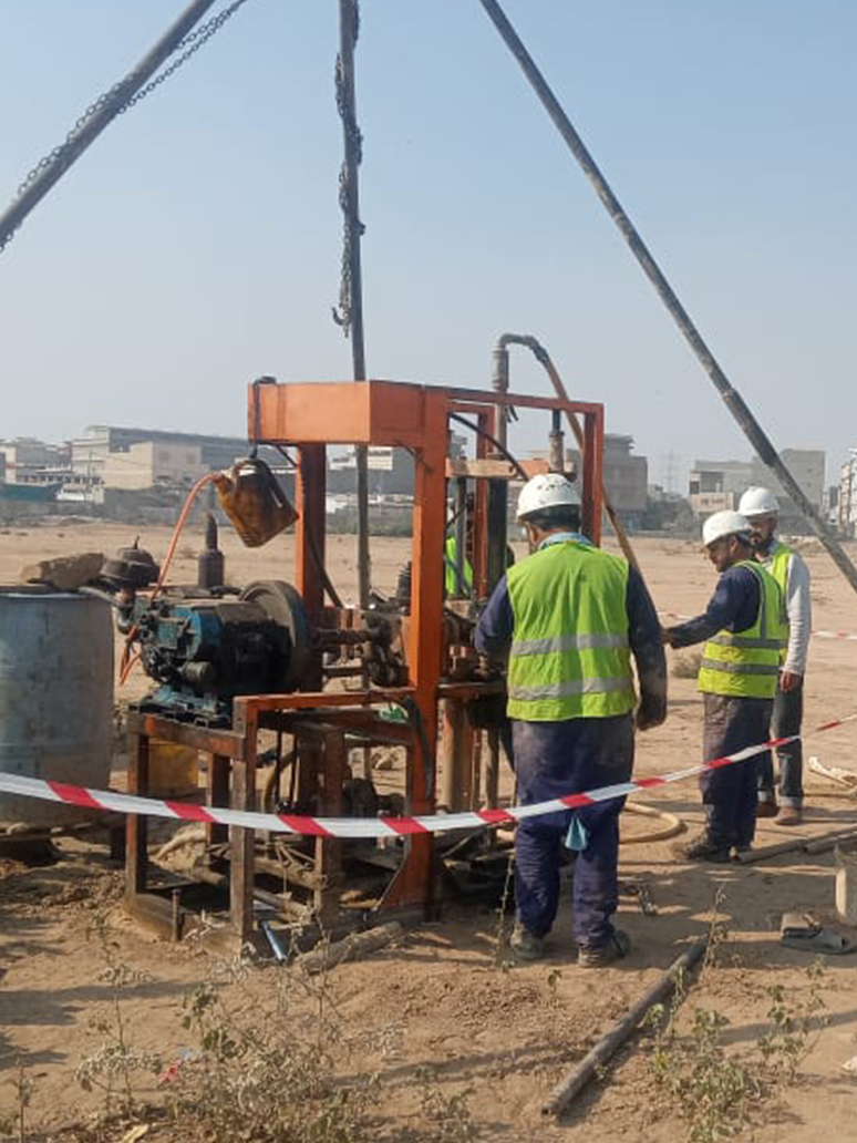
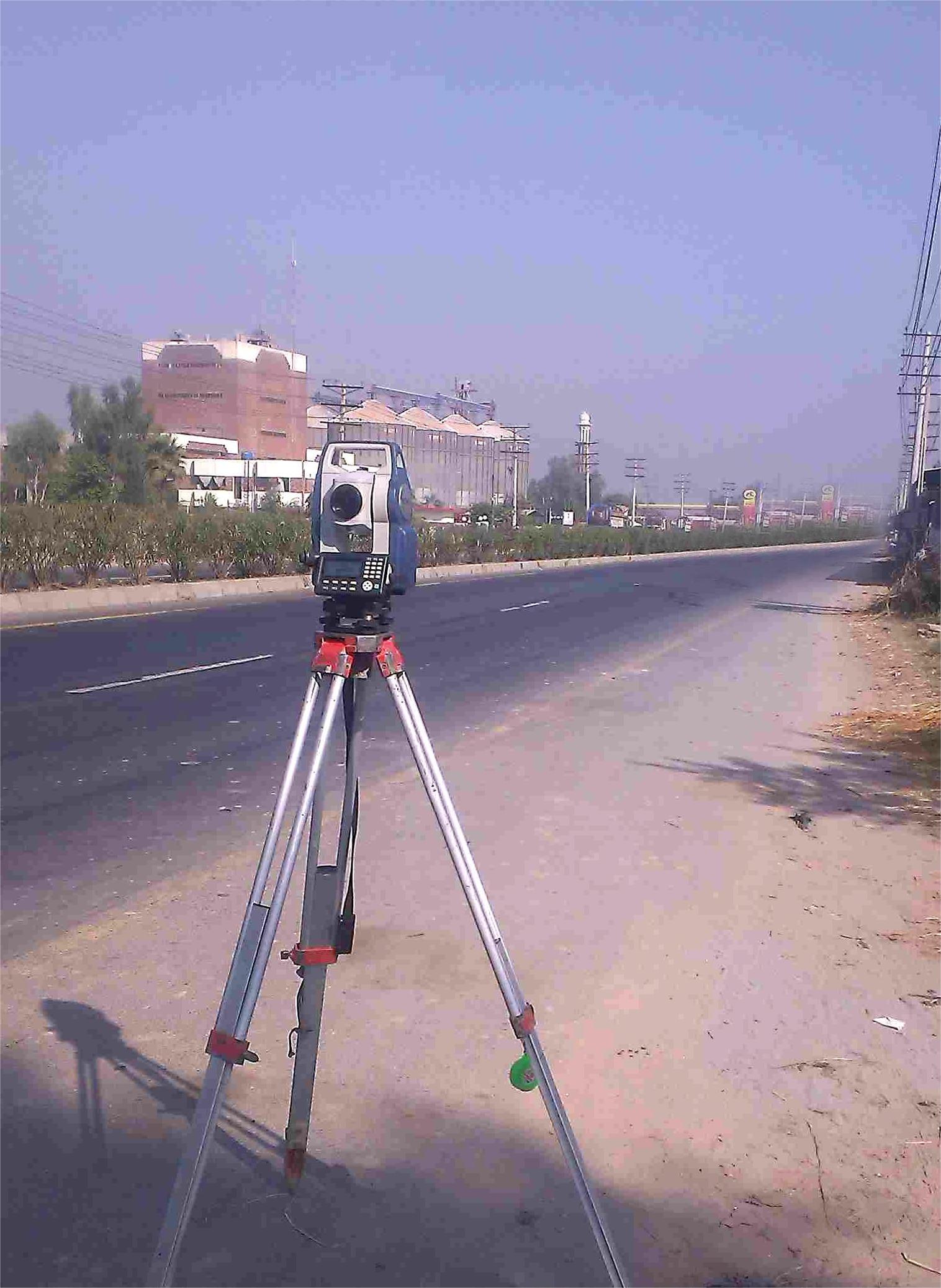
Our topographic survey Pakistan services provide accurate mapping and contouring for construction sites, land development, and engineering projects. Using state-of-the-art land surveying services Pakistan equipment including Total Stations and GPS, we deliver precise data that forms the foundation of successful projects.
Topographic surveys are essential for understanding the natural and man-made features of a land area. Our detailed maps show elevation changes, existing structures, vegetation, and boundaries, enabling architects and engineers to plan designs that work in harmony with the terrain.
KEY FEATURES
Digital Terrain Modeling
High-resolution 3D models of ground surfaces for volume calculations and design
Contour Mapping
Detailed elevation maps showing slope gradients and terrain variations
Boundary Surveys
Accurate demarcation of property lines and legal boundaries
GPS Surveys
Utilizing global positioning systems for large-scale mapping accuracy
As-Built Surveys
Documenting completed construction work against original design plans
Volume Calculations
Precise calculation of earthwork quantities for cut and fill estimation
APPLICATIONS
Construction Planning
Essential base data for architectural design and site layout
Land Development
Subdivision planning and infrastructure design for housing schemes
Road Infrastructure
Route planning and alignment surveys for highways and roads
Drainage Design
Slope analysis for effective stormwater management systems
NEED ACCURATE LAND SURVEYS?
Contact us today for a free consultation and detailed quote for your topographic survey needs.